Who owns the shoreline
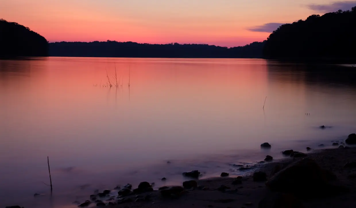
Start here, because it changes what “lakefront” means. On most Lanier lots, the strip between your lot line and the water belongs to the United States.
The land at the water
- The Shoreline Management Plan says the United States (the Corps) owns most of the land around Lake Lanier outright, in fee title. U.S. Army Corps of Engineers (archived page), checked 2026-10-19
- Private property lines do not extend onto Corps land. Owning the adjoining lot gives no extra rights on government property, no privacy guarantee and no exclusive use of the shoreline. U.S. Army Corps of Engineers (archived page), checked 2026-10-19
So a listing’s lake words need translating:
- Next to Corps land: the lot touches the government boundary. What you may do on the shoreline depends on the Corps’ zoning in front of the lot and on a permit in your name.
- Lake access: a community dock, a marina slip or a nearby park. Read the documents that create the access.
- Lake view: a view. No shoreline rights at all.
Docks: the permit is personal
This is the fact that surprises buyers most. A dock on Lanier sits on Corps property under a permit issued to a person, and that permit does not survive the sale.
Dock permits, from the Corps
- Only owners of property next to public land zoned 'limited development' may apply for a Shoreline Use Permit/License. First-time applicants for new facilities must meet a ranger on site. New owners of existing facilities apply at the Corps office. U.S. Army Corps of Engineers (archived page), checked 2026-10-19
- The Shoreline Management Plan says dock permits cannot be transferred. They become null and void when the property is sold or transferred, or when the permittee dies. New owners must notify the Corps of their purchase and apply for a new permit. U.S. Army Corps of Engineers (archived page), checked 2026-10-19
- The Corps' change-of-owner letter to buyers says the dock permit expired the day the name on the deed changed. It says not to install or change facilities, or cut vegetation or trees, without contacting the Corps first and getting written permission. U.S. Army Corps of Engineers (archived page), checked 2026-10-19
Before you go under contract, ask the seller for the dock permit number and any recent Corps letters, and check the Corps permit record for that lot. After closing, you apply for your own permit and a ranger inspects the dock and shoreline first. Anything out of line can become your repair bill. Our dock permit guide walks through the paperwork.
A lot with no dock today is not a lot that can get one. Only certain shoreline qualifies, the Corps caps the number of permits, and newer subdivisions generally get community docks instead of private ones.
Where new docks are possible
- The Corps limits how many shoreline permits can exist on the lake at one time. When none are available, applicants can join a wait-list. U.S. Army Corps of Engineers (archived page), checked 2026-10-19
- Private recreational facilities, docks among them, are not authorized on 'Protected' shoreline, which also covers all islands except those leased to Lake Lanier Islands. U.S. Army Corps of Engineers (archived page), checked 2026-10-19
- The plan makes community docks the preferred form of shoreline access and requires them for new residential developments (final plat approved after the plan took effect) where they reduce environmental impacts. After a community dock permit is issued, the remaining shoreline is rezoned 'Protected'. U.S. Army Corps of Engineers (archived page), checked 2026-10-19
What a new dock can be
New private docks must be open-sided, with no walls, and may not exceed 32 by 32 feet including any deck. Slips are capped at 20 by 28 feet, and the smallest dock permitted is 18 by 24 feet. (U.S. Army Corps of Engineers (archived page), checked 2026-10-19)
Those design limits come from the Corps’ 2004 Shoreline Management Plan. The Corps has since published a change to one section that we could not read, so confirm current terms with the Corps before you plan around them. An enclosed or two-story dock you see today may be an older approval, not a model for yours.
Land below the easement line
Some lots near the water are private but carry a recorded flowage easement. It limits what you can build and whether a new septic system is possible.
The flowage easement
- When Buford Dam was built, a maximum flood elevation of 1,085 feet above mean sea level was set. Where that line fell on private land, the government bought flowage easements. That land stays private, but owners may not build habitable structures on it or alter its contour. All purchased easements are recorded. U.S. Army Corps of Engineers (archived page), checked 2026-10-19
- The plan says health officials around Lanier prohibit new septic systems below the 1,085-foot contour regardless of who owns the land. Septic systems are not permitted on public land below 1,085 feet. U.S. Army Corps of Engineers (archived page), checked 2026-10-19
Have the survey and title work checked for the easement line, and ask Hall County Environmental Health for the septic record on any home that is not on sewer.
Hall County Environmental Health takes individual septic-system record requests by email with the property address and says they can take up to 3 business days. Owners in unincorporated Hall whose property is on septic must contact Environmental Health before applying for a county building permit. (Hall County, checked 2026-10-19)
Flood zones are a separate check
The Corps easement and FEMA’s flood map are different things. A lot can be outside one and inside the other.
FEMA's Flood Map Service Center (msc.fema.gov) is the official public source for National Flood Insurance Program flood hazard information. Buyers can search an address there to find the effective flood map. (FEMA, checked 2026-10-19)
Water levels move
Lanier was built for several purposes, and recreation is only one of them. Its level goes up and down, so water depth at a dock is not guaranteed.
Why the level moves
- The Corps built Lake Lanier in the 1950s as a multi-purpose lake authorized for flood protection, power production, water supply, navigation, recreation and fish and wildlife management. U.S. Army Corps of Engineers (archived page), checked 2026-10-19
- The Corps says Lake Lanier's water level will periodically fluctuate as it balances hydropower, flood control, navigation, water supply, recreation and fish and wildlife needs. U.S. Army Corps of Engineers (archived page), checked 2026-10-19
Leave the shoreline alone until you have permission
New owners often want to clear a view, add steps or set out a bench. On Corps land, each of those needs written permission first.
Work on Corps property needs a permit first. The Corps lists clearing trees and understory, planting non-native or ornamental plants, placing unpermitted items such as swings, picnic tables, benches, sheds or boat trailers, and grading among prohibited acts. Violators face fines of up to $5,000, up to six months' imprisonment, restoration costs or permit revocation. (U.S. Army Corps of Engineers (archived page), checked 2026-10-19)
Renting or investing
If you plan to rent the home, know that the dock permit holder must be the owner and primary user.
The plan allows one dock permit per household. Permits are not issued for speculative purposes, for property enhancement or to renters, and the permittee must be the owner and primary user. (U.S. Army Corps of Engineers (archived page), checked 2026-10-19)
City or county along the lake
Lake homes west of downtown can sit in either jurisdiction. The Hideaway Bay end is inside the city on the Census boundary file, and the Aqualand end is not, despite its Flowery Branch address.
The Census geocoder puts Safe Harbor Aqualand's address (6800 Lights Ferry Rd., Flowery Branch 30542) and the Chestnut Mountain community outside any incorporated city, in unincorporated Hall County, even though Aqualand has a Flowery Branch mailing address. (U.S. Census Bureau Geocoder, checked 2026-10-19)
Check the parcel’s tax district on qPublic Hall County and the Corps record before anything else.
Lake Lanier listings
Gold Peach Realty listings
Homes for sale from Gold Peach Realty
Current listings from Gold Peach Realty, the brokerage behind this guide. Flowery Branch homes show first when the brokerage has them; otherwise these are its current North Georgia listings. Photos, prices and details come straight from the MLS.
Want your home featured here? List with Gold Peach Realty and your home is featured on this guide and across our North Georgia community sites. How Gold Peach Realty markets homes
Search all Flowery Branch listingsListings open on goldpeachrealty.com, the website of our brokerage, Gold Peach Realty. Listing information is deemed reliable but not guaranteed.
Next, run any lake home through the due-diligence checker with “Lake Lanier: yes,” or ask Gold Peach Realty to pull a lot’s Corps paperwork before you offer.
Questions buyers ask
Does a Lake Lanier dock permit transfer when I buy a Flowery Branch home?
No. The Corps’ Shoreline Management Plan says dock permits cannot be transferred and become void when the property is sold. The new owner must notify the Corps of the purchase and apply for a new permit.
Do I own the shoreline if I buy a lakefront lot on Lake Lanier?
Usually not. The Corps owns most of the land around Lake Lanier outright, and private property lines do not extend onto Corps land. Owning the lot next to it gives no exclusive use of the shoreline.
Who can apply for a dock permit on Lake Lanier?
Only owners of property next to public land zoned Limited Development may apply for a Shoreline Use Permit. First-time applicants for new facilities meet a ranger on site; new owners of existing facilities apply at the Corps office.
What is the 1,085-foot line on a Lake Lanier lot?
It is the maximum flood elevation set when Buford Dam was built. Where it fell on private land, the government bought flowage easements: the land stays private, but no habitable structures may be built on it and its contour may not be changed.
Can I put in a new septic system near Lake Lanier?
Not below the 1,085-foot contour. The Corps plan says health officials around Lanier prohibit new septic systems below that line regardless of who owns the land.
How do I check if a Flowery Branch home is in a flood zone?
Search the address on FEMA’s Flood Map Service Center, the official public source for National Flood Insurance Program flood hazard information.
Source: FEMA
Rules, rates and maps change. Every rule on this page links to the office that sets it; confirm with that office before you rely on it.