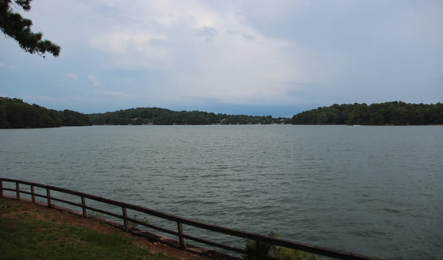
Houses and boat docks along a Lake Lanier shoreline
Wind-ruffled grey-green lake water stretching to low wooded hills dotted with houses and boat docks, under a pale overcast sky, with a wooden rail fence on a grassy bank in front.
Baldridge Creek, Lake Lanier, GA July 2018 by Thomson200, released into the public domain (CC0), via Wikimedia Commons. Cropped and resized.
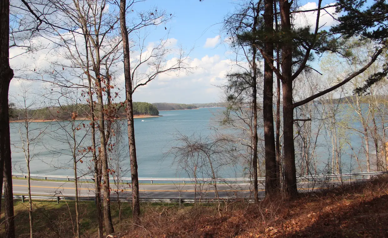
An arm of Lake Lanier in early spring
A wide blue arm of the lake seen through bare early-spring trees, opening toward wooded points with red-clay shorelines, one boat leaving a white wake.
Lake Lanier, March 2017 1 by Thomson200, released into the public domain (CC0), via Wikimedia Commons. Cropped and resized.
Afterglow over Lake Lanier
Mirror-still lake water reflecting a soft pink and peach afterglow, with a dark, low wooded shoreline across the middle of the frame.
Lake Lanier Sunset by Peter S (salanki), licensed under CC BY 2.0, via Flickr. Cropped and resized.
Dusk on a Lake Lanier cove
Glassy pink and violet water in a cove at dusk under an orange-to-pink sky, dark wooded hills on both sides and smooth dark stones on a sandy beach in front.
Lake Lanier Sunset by Peter S (salanki), licensed under CC BY 2.0, via Flickr. Cropped and resized.
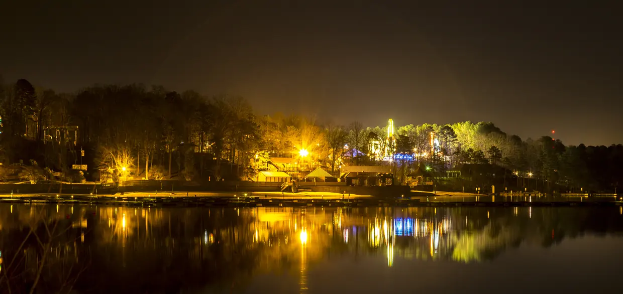
Lights along Lake Lanier at night
A wooded shoreline lit by warm orange lamps and low buildings at night, every light mirrored in perfectly still water.
Gainesville, GA, USA – panoramio (2) by Pavel Kuritsyn, licensed under CC BY 3.0, via Wikimedia Commons. Cropped and resized.
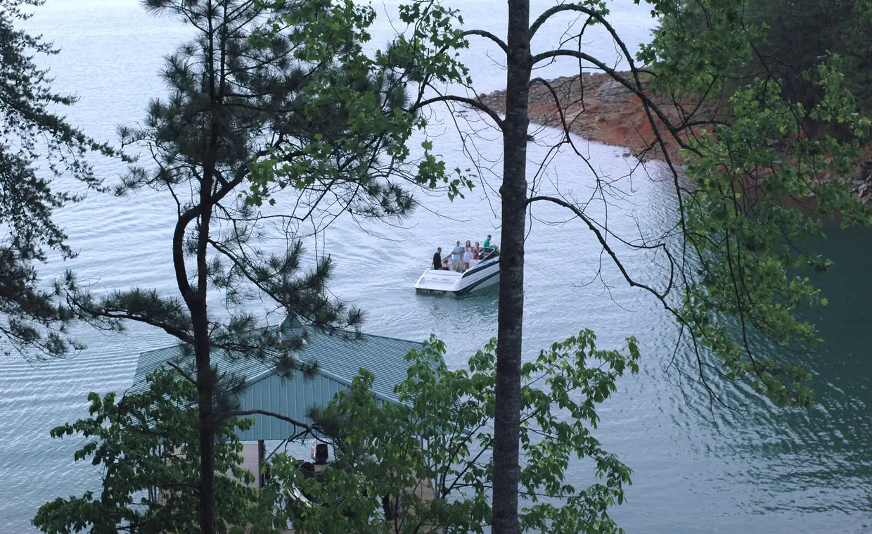
A boat passing a boathouse on Lake Lanier
A white motorboat crossing pale blue-green water past a green metal boathouse roof, seen from a wooded hillside, with a red-clay point on the far shore.
Boat on Lake Lanier by Jam Smooth (JamSmooth), licensed under CC BY 2.0, via Flickr. Cropped and resized.
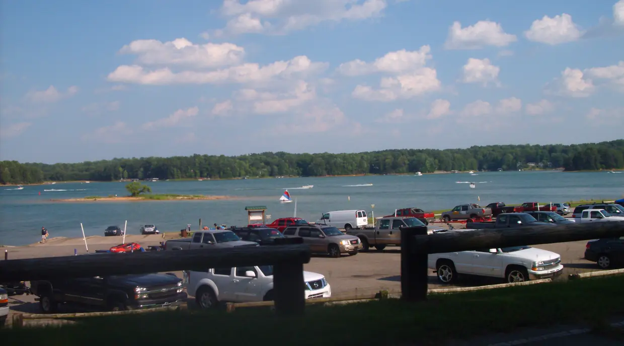
A summer day at a Lake Lanier boat ramp
Pickup trucks with boat trailers parked above a boat ramp that slopes into a broad blue lake dotted with motorboats and a small sailboat.
Lago lanier – panoramio by atomic ant, licensed under CC BY 3.0, via Wikimedia Commons. Cropped and resized.
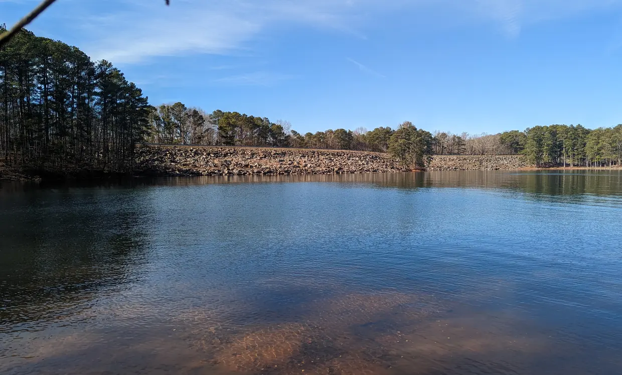
Buford Dam, which holds back Lake Lanier
Clear rippled blue water over a sandy bottom, stretching to a long embankment faced with tan riprap boulders and topped by a road and pines.
Buford Dam by Clifflandis, released into the public domain (CC0), via Wikimedia Commons. Cropped and resized.
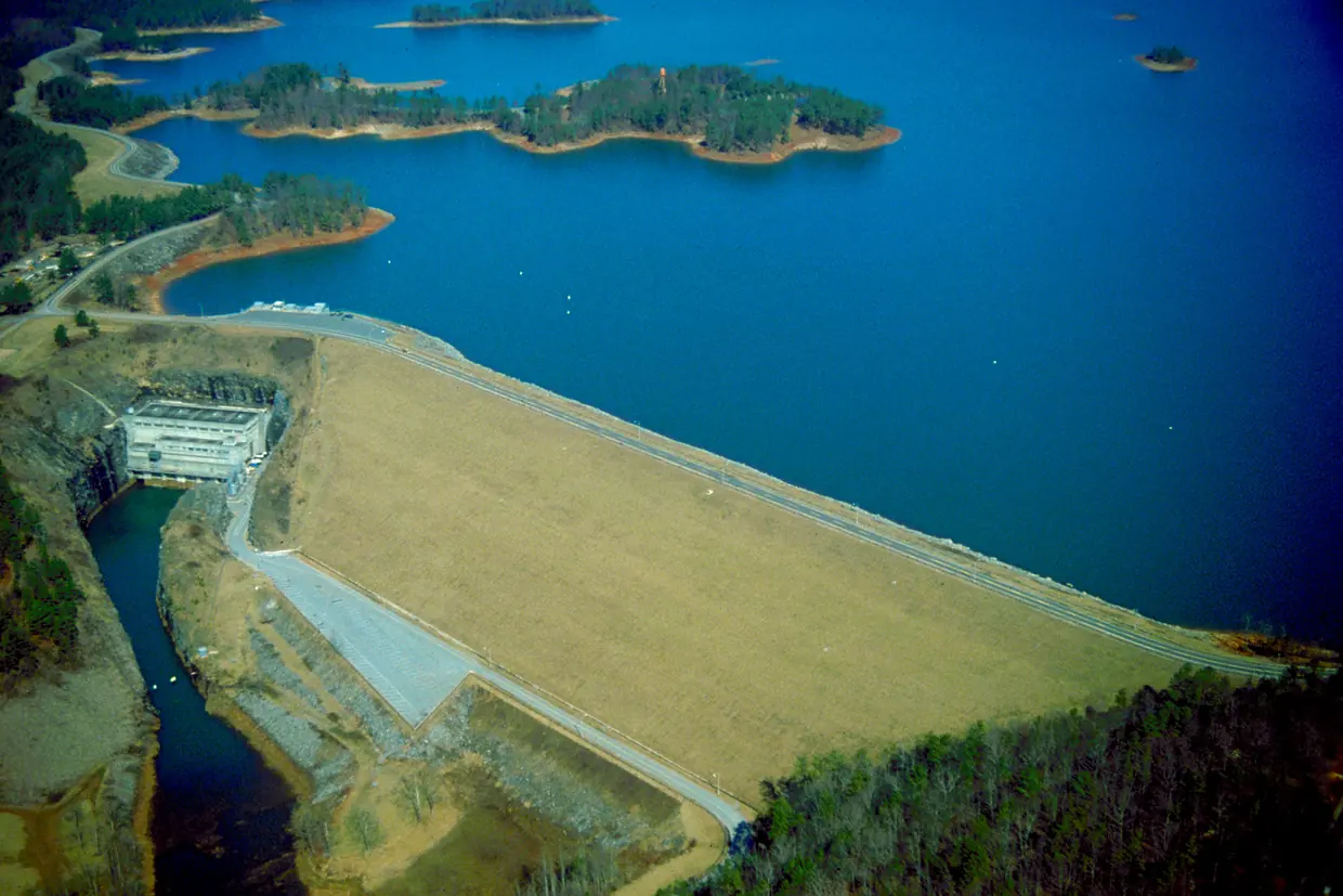
Buford Dam and Lake Lanier from the air
An aerial view of a long, straight earth dam with a grassy face holding back a deep blue lake scattered with wooded islands, a concrete powerhouse at its base.
USACE Buford Dam Georgia by U.S. Army Corps of Engineers, in the public domain, via Wikimedia Commons. Cropped and resized.
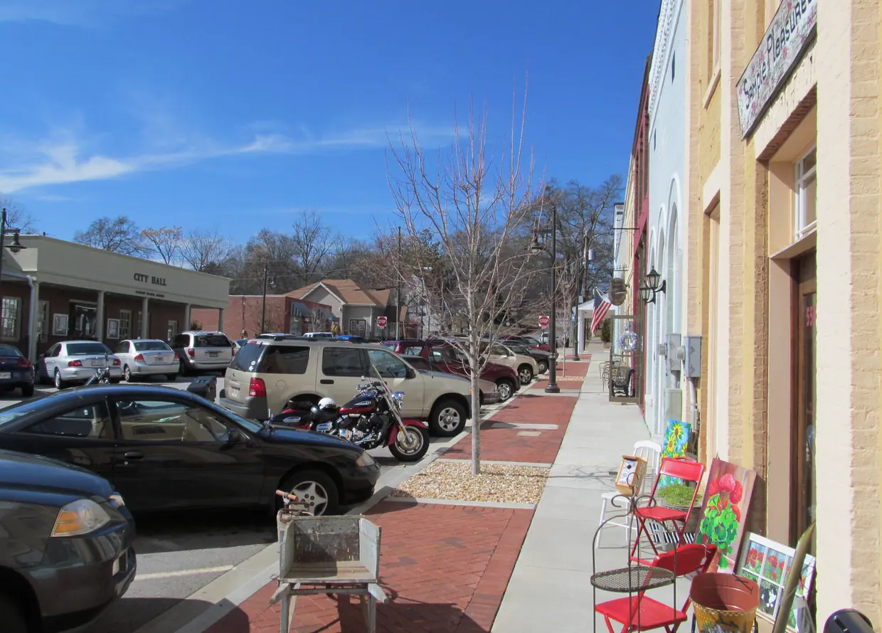
Main Street in Flowery Branch, photographed in 2012
A sunny brick sidewalk past cream and pale-blue brick storefronts with arched windows and an American flag, angle-parked cars, and a low brick building signed City Hall across the street.
Main Street, Flowery Branch GA by John Phelan, licensed under CC BY-SA 3.0, via Wikimedia Commons. Cropped and resized.
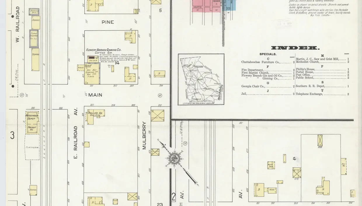
The rail line and depot on the 1912 Sanborn map of Flowery Branch
A hand-coloured 1912 fire-insurance map: parallel rail lines between West and East Railroad Avenue, crossed by Chestnut, Pine and Main streets, with the passenger depot beside the tracks.
Sanborn Fire Insurance Map from Flowery Branch, Hall County, Georgia, 1912, Plate 0001 by Sanborn Map Company (Commons lists the author as unknown), in the public domain, via Wikimedia Commons. Cropped and resized.
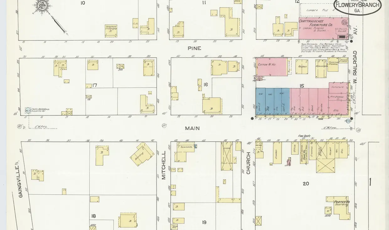
Town blocks around Main Street on the December 1912 Sanborn map
A 1912 fire-insurance map sheet showing town blocks around Main Street and West Railroad Avenue, with a row of pink and blue commercial buildings and small yellow house footprints.
Sanborn Fire Insurance Map from Flowery Branch, Hall County, Georgia, 1912, Plate 0003 by Sanborn Map Company (Commons lists the author as unknown), in the public domain, via Wikimedia Commons. Cropped and resized.
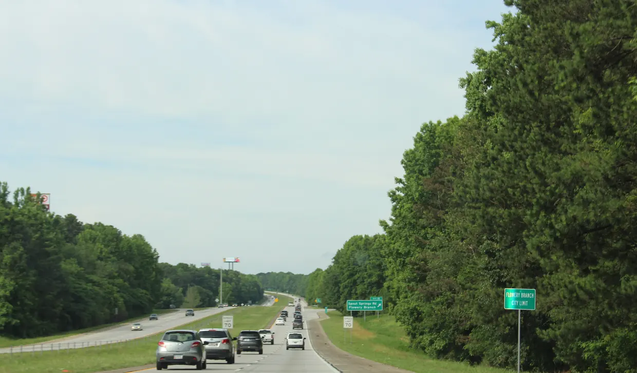
The Flowery Branch city limit on I-985
A green Flowery Branch city limit sign on the shoulder of a four-lane divided interstate lined with tall pines, cars heading toward an exit sign for Spout Springs Road.
Georgia I985sb Flowery Branch city limit by Michael Rivera, licensed under CC BY-SA 4.0, via Wikimedia Commons. Cropped and resized.
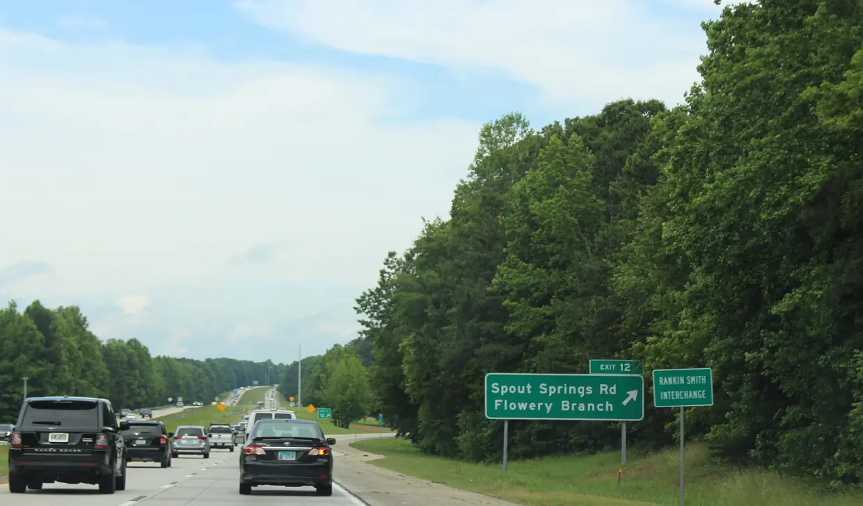
I-985 Exit 12, Spout Springs Road, signed for Flowery Branch
Cars on a multi-lane interstate passing a green sign for Exit 12, Spout Springs Road, Flowery Branch, against a wall of green trees.
Georgia I985nb Exit 12 by Michael Rivera, licensed under CC BY-SA 4.0, via Wikimedia Commons. Cropped and resized.
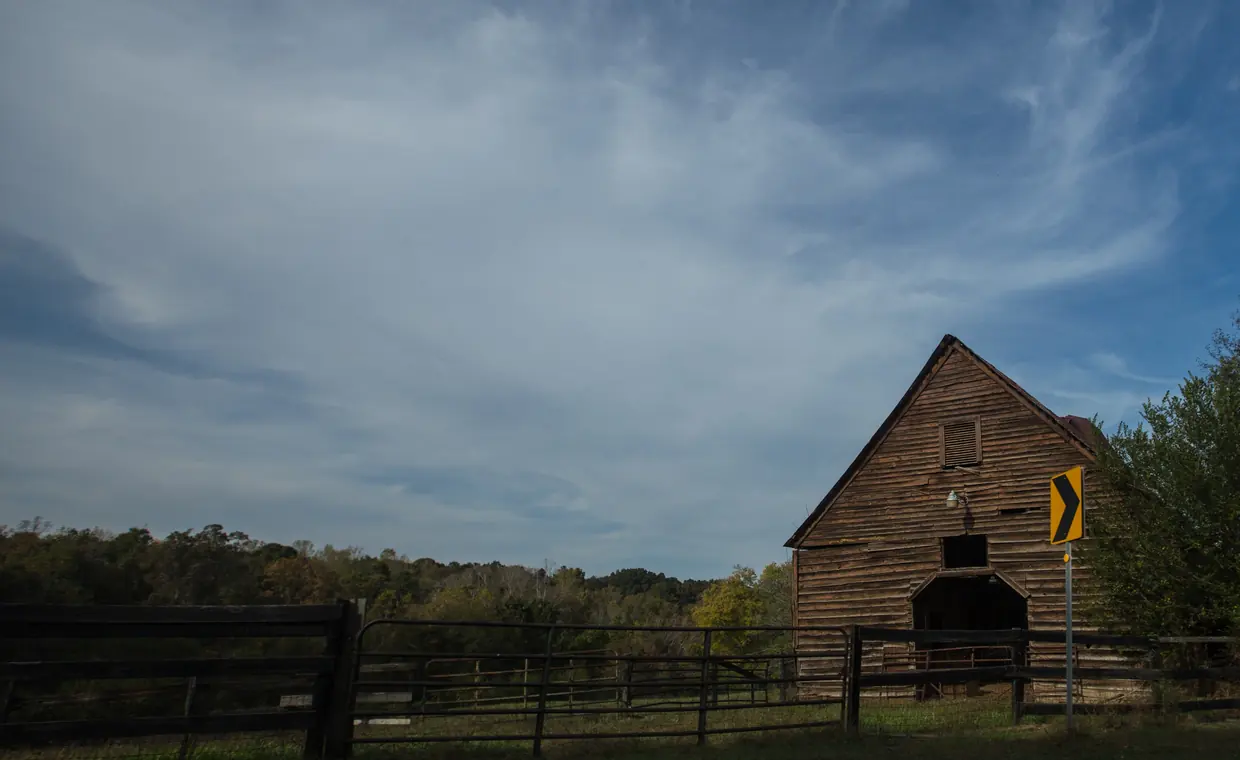
Countryside near Flowery Branch, in South Hall County
A weathered wooden barn at the edge of a pasture behind black board fencing, a wooded ridge with early autumn colour along the horizon under a wide sky.
just an old barn in Flowery Branch by Tom Woodward (bionicteaching), licensed under CC BY-SA 2.0, via Flickr. Cropped and resized.
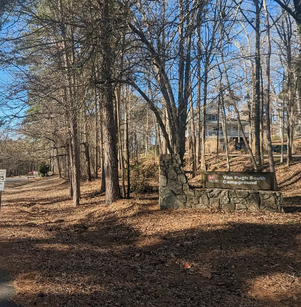
Van Pugh South Campground, a Corps of Engineers park in Hall County
A stone-pillared wooden sign for Van Pugh South Campground with a U.S. Army Corps of Engineers emblem, beside a curving park road among tall pines.
Van Pugh Park, South Campground by Clifflandis, released into the public domain (CC0), via Wikimedia Commons. Cropped and resized.
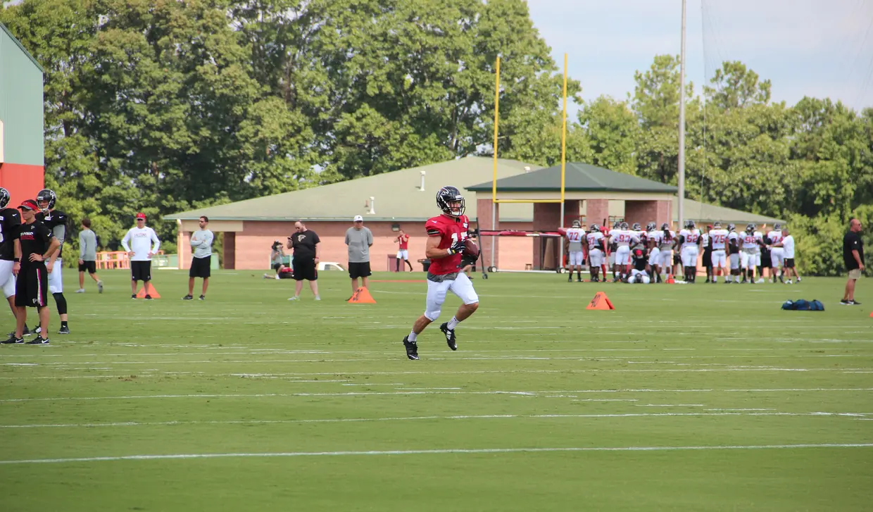
Atlanta Falcons training camp at the team headquarters in Flowery Branch, July 2016
A wide striped grass practice field with yellow goalposts, players and coaches along the sidelines, a low brick building with a green hip roof and tall trees behind.
Atlanta Falcons July 2016 training camp IMG 7555 by Thomson200, released into the public domain (CC0), via Wikimedia Commons. Cropped and resized.


Film
- Home page film: a slow cut of five real photographs of Lake Lanier (houses and docks on a shoreline, an arm of the lake in spring, an afterglow and lights on the water at night) and the 1912 Sanborn fire-insurance map of Flowery Branch, with gentle zoom and dissolves. Nothing in it is generated, and no share-alike photo is in the cut; credits for each source are listed above.
Rules, rates and maps change. Every rule on this page links to the office that sets it; confirm with that office before you rely on it.