Decision tool 1
Which Flowery Branch area fits you?
Five questions. We score five parts of Flowery Branch against your answers and show you the best three, with the trade-off for each.
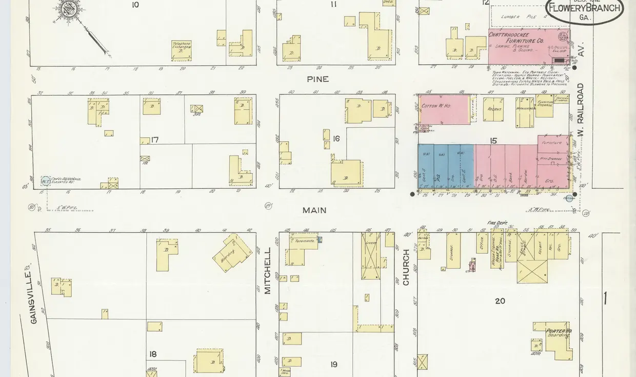
The map behind the finder
The five areas sit along one line. The historic downtown is beside the railroad near the lake. The Lake Lanier side runs west and north of downtown toward Aqualand. Spout Springs Road starts at I-985 Exit 12 and heads southeast toward Braselton, with Sterling on the Lake off it. Chestnut Mountain lies east of the city in unincorporated Hall County. The schematic shows where each sits.
- Old Town — the historic downtown, inside the city
- Lake Lanier side — west toward Aqualand, next to Corps land
- Spout Springs corridor — from I-985 Exit 12 toward Braselton
- Sterling on the Lake — south of the corridor, its own HOA
- Chestnut Mountain — east, unincorporated Hall County
All five areas
 01
Inside the city · walkable blocks
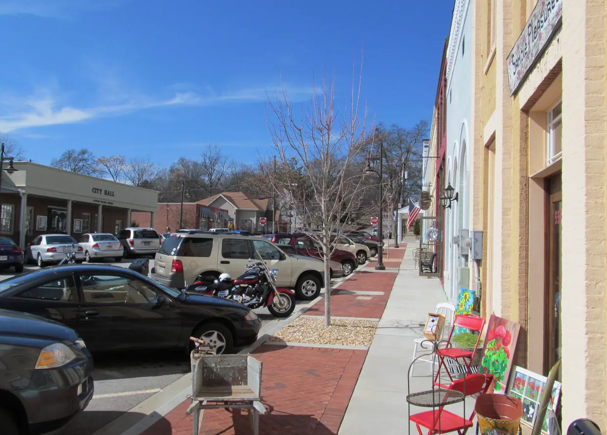
Historic downtown (Old Town)
The City's historic 'Old Town' around Main Street and the depot: small walkable blocks, a local historic district, and the lake and two marinas about a mile away.
- City of Flowery Branch
- Walkable small blocks
- Local historic district
- Lake about a mile off
Trade-off: Exterior changes inside the historic district need a Certificate of Appropriateness, and being near the lake is not the same as lakefront.
Read the Old Town guide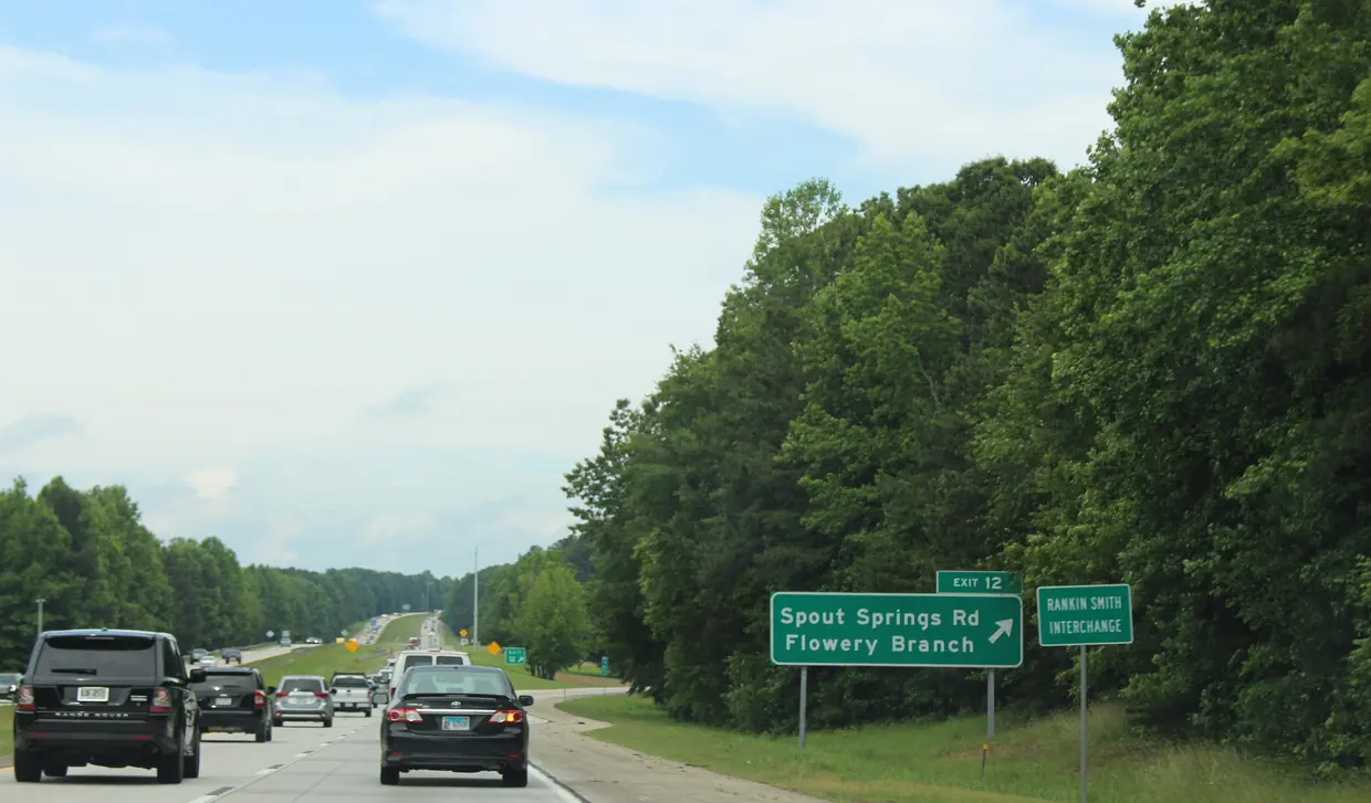 02
HOA community · resales
Sterling on the Lake
A completed planned community with its own HOA office off Spout Springs Road. The developer says the homes are sold, so today's purchases are resales.
- HOA office on site
- Developer sales complete
- Clubhouse point inside the city
Trade-off: The developer says the homes are sold, so every purchase is a resale under the HOA’s rules; no source confirms Lake Lanier frontage for its lots.
Read the Sterling on the Lake guide 03
Corps shoreline · toward Aqualand
Lake Lanier side
Lakeside neighborhoods west of downtown toward Safe Harbor Aqualand, where 'lakefront' usually means next to Corps land and any dock is a nontransferable Corps permit.
- Next to Corps land
- Dock = Corps permit
- City at one end, county at the other
Trade-off: The Corps owns most of the shore. A dock permit is void when the home sells and the buyer must apply again; check the permit record for the exact lot.
Read the Lake Lanier side guide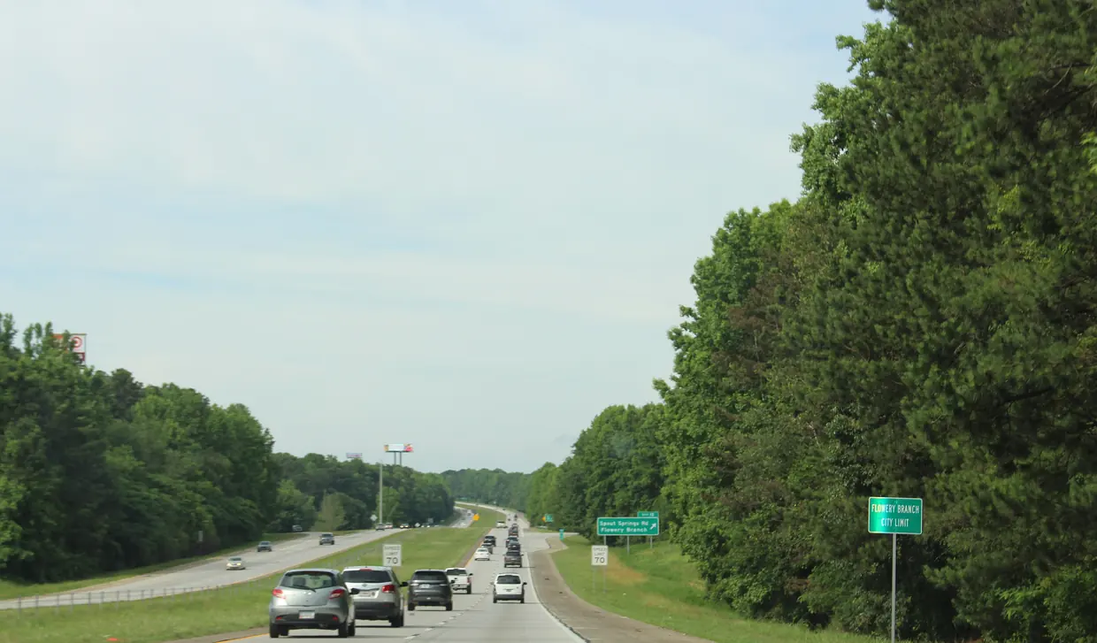 04
Exit 12 · subdivisions
Spout Springs Road / I-985 corridor
Subdivisions and retail along Spout Springs Road from I-985 Exit 12 toward Braselton, a corridor Hall County and GDOT are widening to four lanes.
- I-985 Exit 12
- Road being widened
- Many subdivisions
Trade-off: Hall County calls it a busy rural two-lane road still being widened in phases, and the corridor crosses the city limit: check each parcel.
Read the Spout Springs corridor guide 05
Unincorporated Hall County
Chestnut Mountain and east Hall
Unincorporated Hall County east of the city toward Braselton, closest of the five areas to Northeast Georgia Medical Center Braselton by OSRM estimate.
- Unincorporated Hall County
- County rules apply
- Toward Braselton
Trade-off: Outside the city: county tax rate and county rules only, and sewer is not a given. Ask whether a home is on septic before you offer.
Read the Chestnut Mountain guideHow we score
Each area earns points for each answer based on what our research could confirm about it, and nothing else. This is an editorial reading of each area’s character, not a ranking.
- Walking to town. Only the historic downtown scores high. The City itself describes Old Town as a walkable downtown of small blocks. No source supports calling the other four walkable, so they score low.
- Lake Lanier. The Lake Lanier side scores highest, and the result always carries a warning: shoreline there is Corps land, and whether a lot can have a dock is a question for the Corps permit record. Downtown scores next, because the lake and two marinas are close by. Sterling on the Lake does not score for Lanier frontage, because no source confirms it for its lots.
- Homeowners’ association. Sterling on the Lake has an HOA office, so it scores for “I want an HOA” and not for “no HOA.” Along Spout Springs Road HOA status varies by subdivision. Elsewhere we have no source either way, so those areas sit in the middle and the result says “check.”
- Sewer. No area scores as a sure thing. The City says its service area varies, Hall County serves parts of the Spout Springs area, and lake lots face septic limits below the flowage-easement line. Every result tells you to confirm by address.
- Commute. Scores follow the OSRM drive estimates on the drive-times page, which ignore traffic. Chestnut Mountain is closest to the Braselton hospital, and the Spout Springs corridor and downtown are closest to I-985.
Where a trait is unknown we never guess yes or no. The area keeps a middle score and the result flags the question to ask.
What the finder leaves out
The finder does not score prices, school quality, crime or who lives in an area. Prices come from the live listings and change all the time. School assignments come only from the district’s lookup for a specific address, so check the Hall County Schools attendance locator before you offer. And we describe places, roads, rules and utilities, never people.
Before you trust a result
Area lines here are descriptive, not legal. Any single parcel can fall on either side of the city limit or a utility boundary, even in the middle of an area. Once a house catches your eye, look up its tax district on qPublic Hall County and run it through the buyer due-diligence checker. Then read the area guide the finder points you to, and browse current Flowery Branch listings.
Rules, rates and maps change. Every rule on this page links to the office that sets it; confirm with that office before you rely on it.